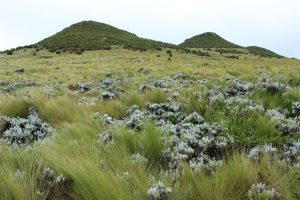
Modeling and Monitoring Shrub Encroachment in the Guassa Community Conservation Area, Ethiopia
By: Cara Steger

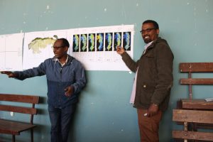
Since our last post, we returned to the Guassa Community Conservation Area to finalize our co-design of a community-based monitoring program for shrub encroachment. We began with a more thorough discussion of what might be causing the shrub encroachment, informed by some species distribution models I prepared for the workshop. These models indicate that the shrub may be more likely to grow in areas of low precipitation compared to the guassa grasses. However, the remote sensing-based variables used to represent precipitation in the model (from the BioClim data set) are extremely coarse resolution and I was not confident in these results. Sure enough, a community member spoke up immediately after my presentation, saying that in his experience the opposite was true – the guassa grasses always grew better in times of drought than the shrubs did. Several others agreed with him, and we decided to do another round of modeling without the climatic variables. Overall, the models were helpful for considering where we wanted to target our monitoring program, and for initiating a more detailed conversation about how climate, soil, and human influence may be interacting to contribute to shrub encroachment.

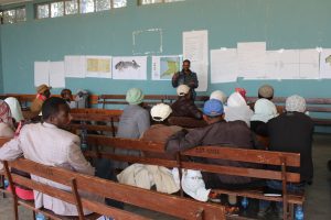
Shambel Alemu, a PhD student from Addis Ababa University, then presented his proposal for studying shrub encroachment. This proposal was developed after our previous community workshop in August 2018, which laid the groundwork for this co-design process. Shambel gave a nine-point presentation describing his goals and objectives for the research, and he did a great job explaining why these seemingly very scientific objectives will actually be of great use to the community (who are primarily interested in eradicating the shrub). For example, he described how studying germination and growth rates from the soil seedbank can help us understand how many years of cutting it may take until the shrubs are no longer germinating more rapidly and abundantly than the grasses. He also described his idea for comparing growth rates between fenced and unfenced plots to understand how grazing (by livestock as well as gelada monkeys) may impact re-growth of the shrubs.

His presentation literally received a standing ovation! The community was extremely enthusiastic. They did not have an opinion on the number of plots to use, or the size of the plots – they said that was for the researchers to decide. They did have some thoughts on the logistics though. One thing we scientists did not consider was that a four-sided fence (top open) would not keep out a herd of grazing monkeys. Community participants strongly encouraged us to close the tops of the plots if we wanted to truly study grazing impacts. Another major concern is theft – they worried that leaving the plots unguarded would result in people coming to steal the fencing. They proposed that there are already a few locations inside the Guassa area that have guards 24/7: the tele-communications tower, the tourism lodge, and the gelada research camp. We agreed to leverage these existing guards to protect some of our plots. However, we explained that we needed to place the plots along a gradient of elevation and aspect to understand the impact of those variables on shrub and grass competition. We asked the community to mobilize to protect the other plots, as this research was being conducted at their request. They agreed to form a committee of one member per kebele, who would work with us to install and protect the plots. We agreed to meet again in August 2019 to begin this new and exciting phase of collaborative conservation!

