The St. Vrain Site Conservation Team (SCT) aims to work with the local community to achieve the best solutions for people and the Preble’s mouse within the St. Vrain Watershed.
The area includes the St. Vrain Creek and associated tributaries between Lyons and Longmont, South Boulder Creek from Baseline Road in the City of Boulder south to Eldorado Springs, and associated tributaries.
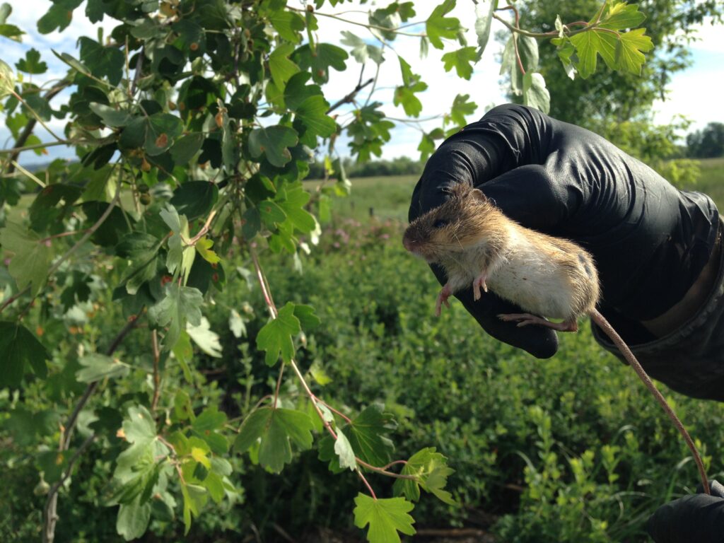
The Preble’s mouse is only found along the Front Range of Colorado and Southern Wyoming in riparian areas below 7,600 feet. Fortunately, suitable habitat for the Preble’s mouse exists in the St. Vrain watershed because of compatible land management.
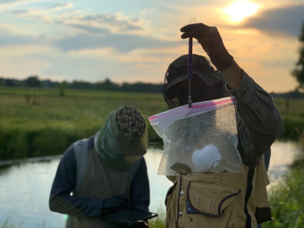
Based on habitat assessments conducted by the St. Vrain SCT during 2022-2023 and historical trapping data, two watersheds will be nominated as Recovery Populations: the St. Vrain, which maintains a high density of Preble’s mouse, and South Boulder Creek, which maintains a lower density of Preble’s mouse across more stream miles. See the map below for areas of interest and land ownership for both watersheds.
The highlighted riparian areas and surrounding upland areas are being considered by the St Vrain SCT as the St Vrain recovery population.
To learn more about the Site Conservation Team, including how local landowners and community members can participate in Preble’s mouse conservation, see. To see who serves on the SCT, see this roster. Forinquiries, please contact SCT members highlighted in the roster.
To learn more about Preble’s Meadow Jumping Mouse:
To learn more about historic monitoring effort from 2014-2021 for the Preble’s mouse within the St. Vrain watershed, watch this video.
To learn more about the regional Site Conservation Teams: